Natural park of Vale do Guadiana
The Natural Park is over 69 773 hectares long, covering part of the Mértola and Serpa municipalities, on a stretch of the river that goes from an upstream area of Pulo do Lobo to the mouth of the Vascão stream.
The many landscapes of the Natural Park are spread over three large geomorphological structures:
> the plains that are predominant in the Park, where there is extensive dry farming, as well as areas of cistus and holm oaks;
> the quartzite mountain elevations of the São Barão and Alcaria mountain ranges. The latter is where the highest point of the Natural Park is found. From here, just 370 m high, you can enjoy a panoramic view of the smooth terrain of the Alentejo plain along with some wrinkly waves as a result of the close influence of the Algarve mountain range;
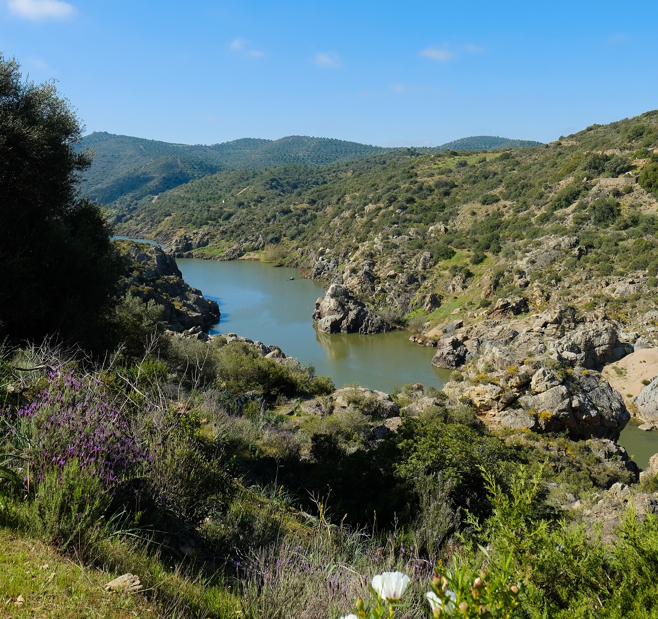
> the embedded valleys of the Guadiana River and its affluents, bordered by cliffs and Mediterranean scrublands. This is the closest formation state to the original vegetation of the region, and because of this there are many areas that are hard to reach (where human intervention is almost unnoticeable).
The dry landscape during summer is followed by the green meadows of winter, which give way to colourful shades as spring approaches. Subject to torrential conditions, the affluent streams of the Guadiana River are practically dry during the hottest summers, while in the wetter seasons of winter its flow increases significantly.
Consulte mais informação sobre o parque, aqui.


